May 26th 2012
I read the reports on the t hunt email group.
Since it couldn't be heard by WB6JPI and KG6GQ near the
San Gabriel Mountains and it couldn't be heard by N6AIN
on the west side, I figured it wasn't to the south or
east. N6UZS did heard it in Orange County and his
location could see through the Cajon Pass so it must be
north.
I started from by location northwest of LA and
headed north on hwy 14. When I reached hwy 138 I heard
T2 at about 60 degrees. I took several reading while
traveling east on 138. The bearings varied from 0 to180
degrees with wildly varying signal strengths from S5 to
full strength without the preamp.
Along the 138 I started to hear T1 at about 135
degrees. At first I thought it was a bounce. I have
successfully triangulated reflections from three sides
before. I decided to chance it anyway and turned south
toward Pinon Hills. The signal was consistent on that
route at about 190 degrees. As I approached Pinon Hills
the signal gradually declined indicating the T was
higher up and farther south. Hwy 2 was the logical
choice. The signal disappeared as I traveled up hwy 2
until I reach Wrightwood then it pointed west. I found
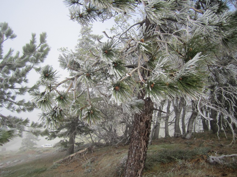
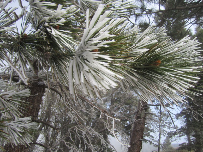
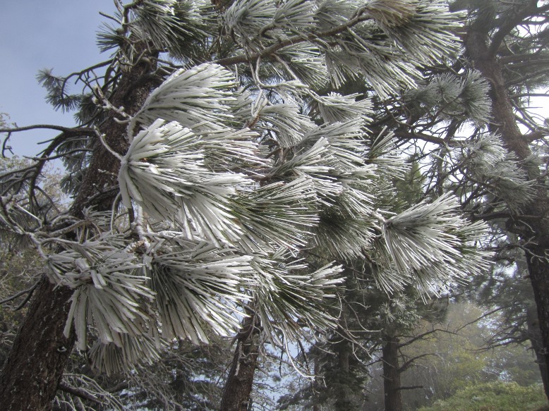
T1 amidst the occasional wind swept cloud passing by.
The temperature was 35 degrees. Saw some nice pine
needles with ice accumulation.
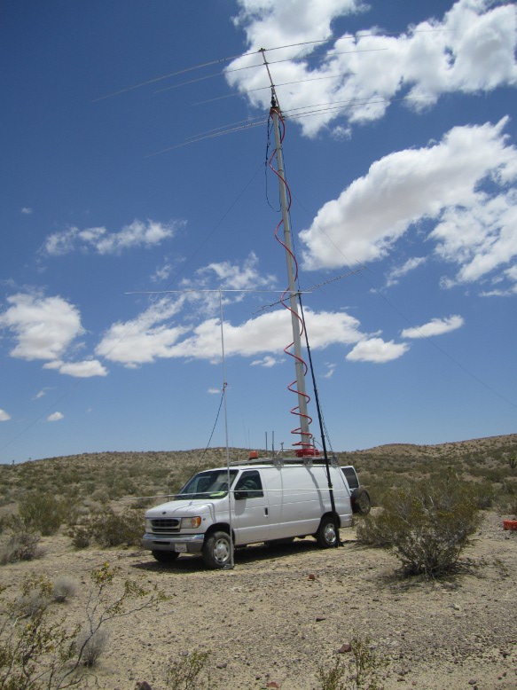
T1 was strong and pointed north. Using my
initial bearing and the ones I took along the way it
looked like it was north of hwy 58 and east of hwy 395.
I put the brain on auto pilot and headed for Kramer
Junction (395 & 58). As I de-scended the hill into
Kramer Junction the signal became weak. I had expected a
very strong signal. I took a reading. Oops, now it was
south. I decided to go to the near by microwave site.
The signal was south. I had the radio attenuator on plus
another external 20db and still had more than half
scale. This is a "you are there signal".
I started investigating hills in the area but
the signal always pointed south. I headed south down the
395 until the signal pointed west at Shadow Mountain
road. I went west until the last reading I took on the
hunt I took pointed north. I turned north on the dirt
road Lessing Ave with N6ZHZ and KD6CYG close behind. At
the north end the road seeming ended on top of a small
knoll. Finding the road again it descended the knoll and
turned west. I was concentrating on the soft/sandy road
and that my GPS position was not following the road I
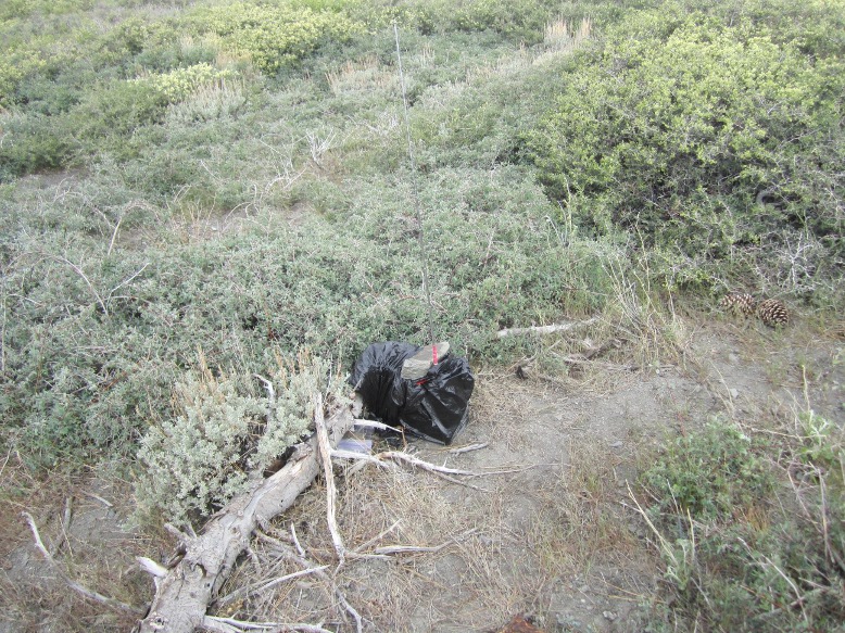
wanted. Then I looked up and found I had arrived.
For the second month in a row, all the hunters
ended up in the same place (middle of nowhere) at the
same time.
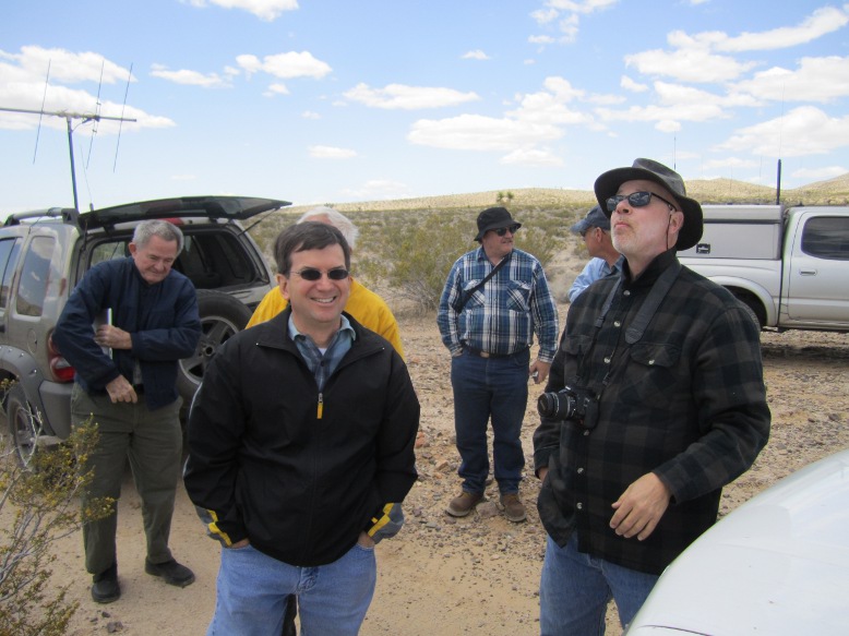
Doug
WA6RJN